The digital shop window nobody could control
Why destinations should be able to refresh how they appear on Google Maps, and what changes when you fly lower.
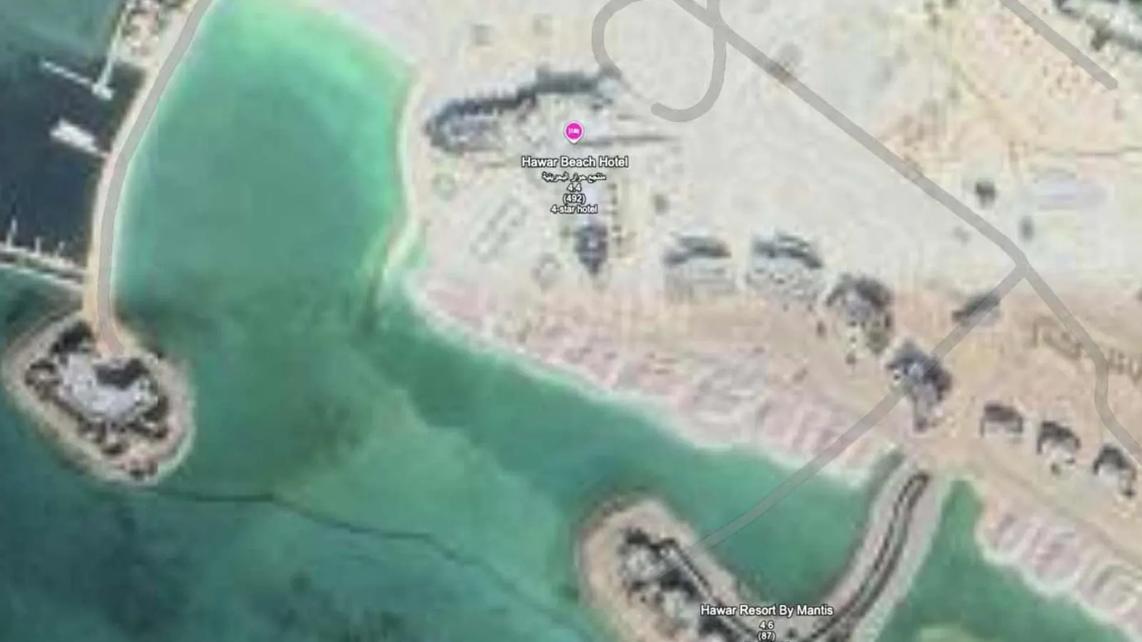
I was messing about on Google Maps one day, as you do, somewhere along the East African coastline. It might have been Zanzibar; I couldn’t swear to it now. Something made me stop. One resort looked completely different to everything around it: richer colours, crisp outlines, detail you simply couldn’t see in the surrounding imagery. As if somebody had pasted an extremely good aerial photograph onto a rather ordinary satellite view.
I zoomed in, out, in again. Had Google made a mistake? Had two datasets been spliced together? It sent me down a rabbit hole, and a very useful one. Because the obvious thought followed immediately.
If that resort can appear in exquisite detail while its neighbours look like mush, why can’t every client of ours do the same?
We capture and submit. Google decides.
I’d already spent around ten years as a Google Street View contributor, so the idea of third parties contributing imagery wasn’t news to me. People tend to think of Google Maps as one enormous magical map that Google produces on its own. In reality it draws on many sources, including partners, and it’s constantly being revised.
So let me be crystal clear: HypaSpace is already an official Google Partner. We’ve prepared and submitted imagery through our account, including tests at Foxhills Resort and Hawar Resort. On our side it’s quite simple. Fly the site, process the photographs, put the data into Google’s required format and upload it.
Now the important bit. Uploading something is not the same as Google publishing it. Google decides what to accept, where to use it and when, and its public documentation doesn’t promise a publication date for aerial imagery. If you hear ‘we can submit a new image of your resort’, please don’t silently translate that into ‘Google guarantees it’ll be live by Friday’.
We control the capture and the submission. Google controls Google’s map.
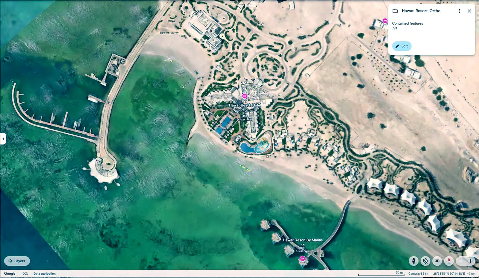
A five-star resort with a building site for a profile picture
Put yourself in the shoes of somebody who has just opened a spectacular five-star resort. Years in development. Millions spent on pools, architecture, gardens and beach access. Your marketing team has photographed every angle, colour-graded every image, practically polished every leaf for the launch.
Then someone who has just heard about your lovely new property goes to Google Maps. Sometimes they see scrubland, because the picture is older than the hotel. Sometimes a building site, because a satellite passed halfway through construction. Sometimes the old layout, from before you spent two years rebuilding the grounds. And you can’t fix the satellite layer by uploading a nicer picture to your Google Business Profile.
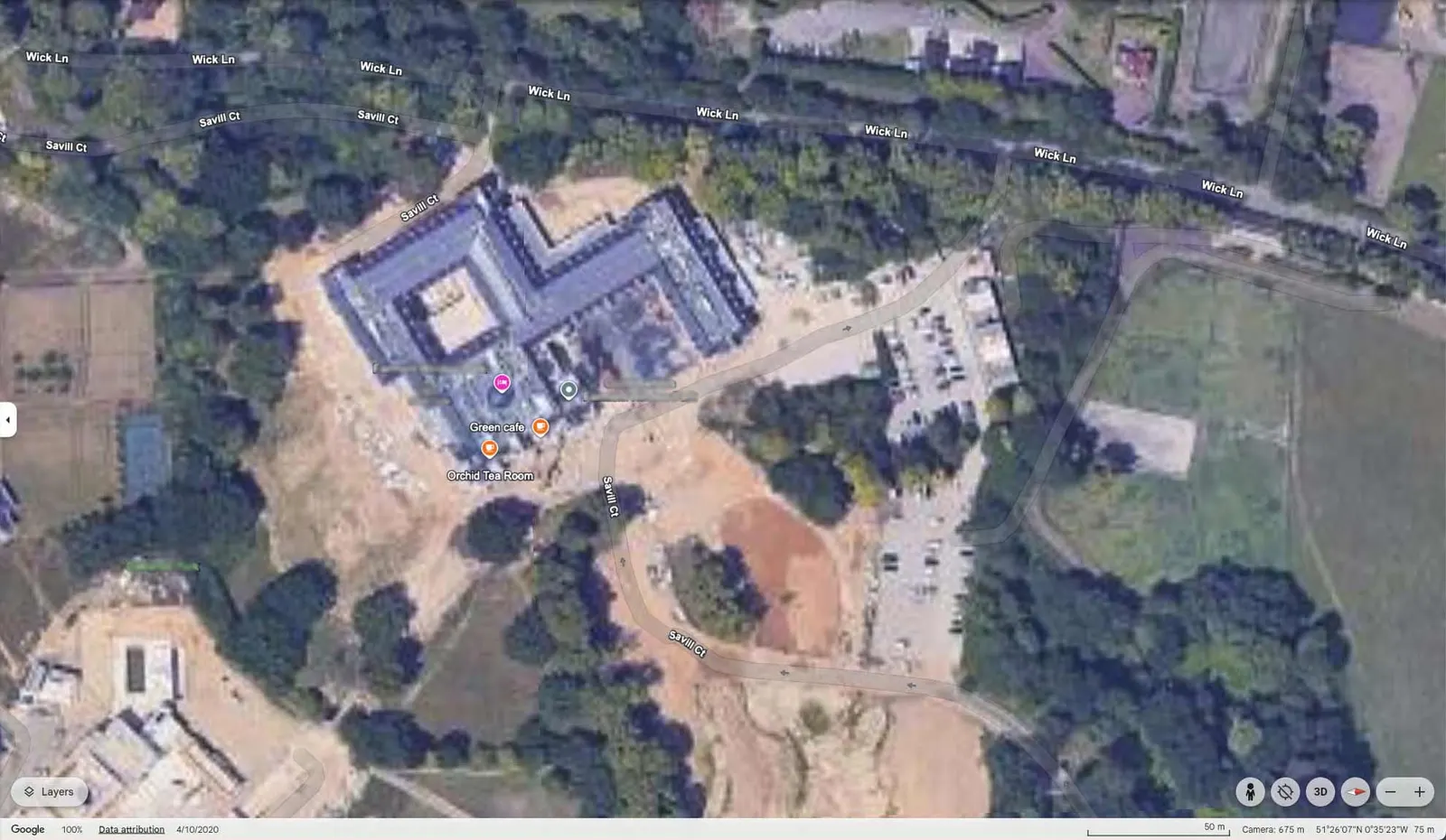
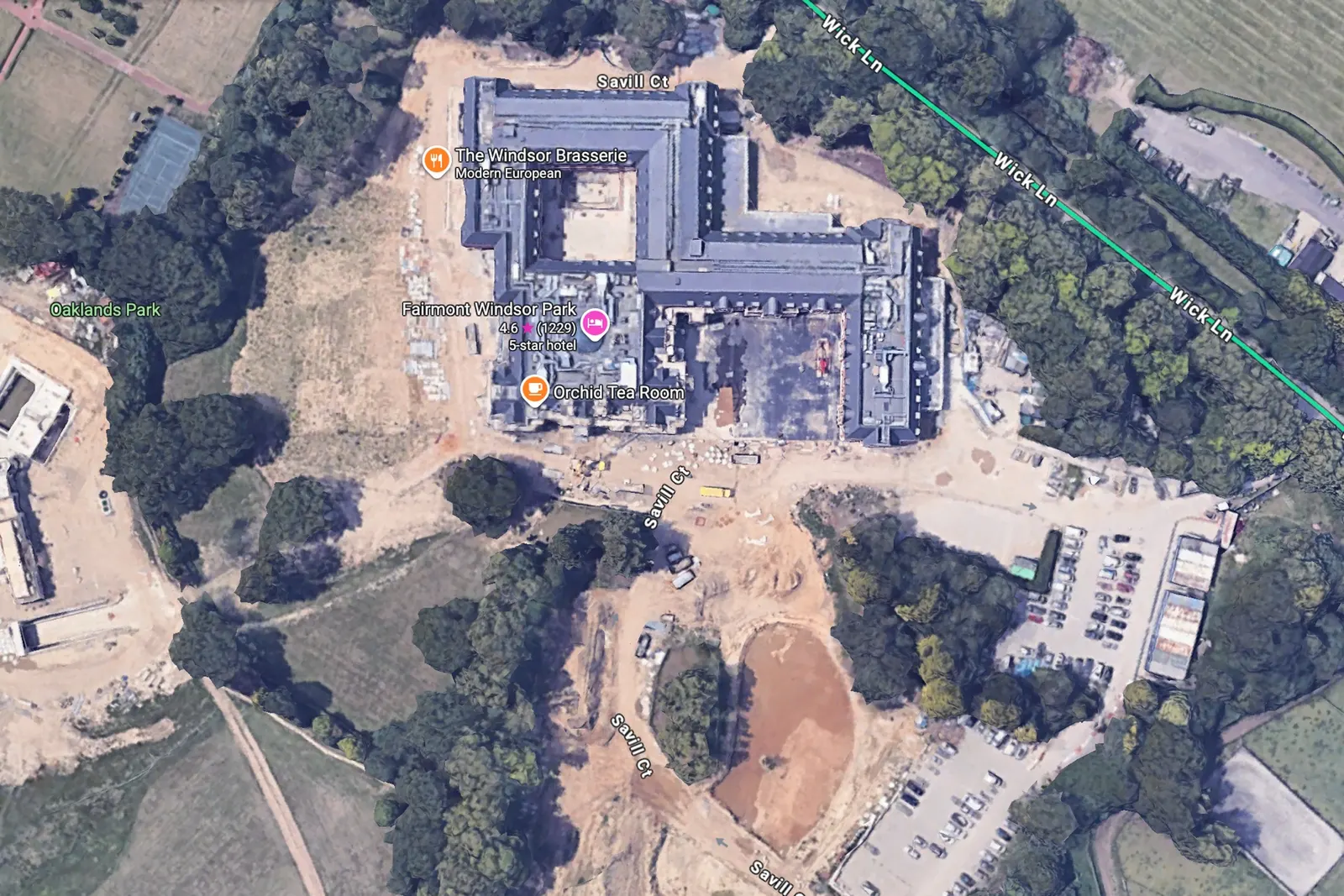
I’ve seen versions of this many times. A tropical resort whose enormous pool, one of its big selling points, shows up as a white blob because the sun reflected straight back at the camera. A golf venue near my home where part of the course looks like a sand patch, because they were relandscaping on the day of the capture. You don’t need a complicated theory of branding. Look at the picture and you can see the problem.
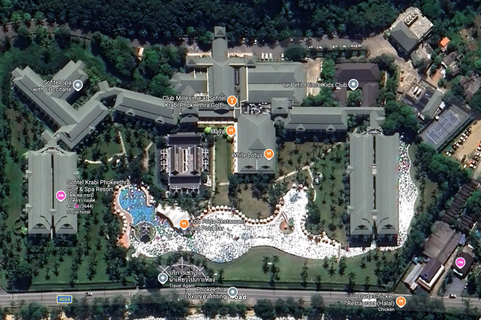
These same businesses spend tens of thousands every year on photography, brochures, social media and video. Then they shrug and accept that Google Maps might show their pool half-finished or their gardens in the wrong season. That contradiction has always struck me as completely mad.
And if somebody says it’s only a picture: imagine you’re thinking about joining an exclusive golf club. You check it online and the aerial view looks like the greenkeeper has taken the year off. Maybe you don’t bother visiting. That’s not just a joining fee lost; it’s every lunch, every round, every drink in the bar, every friend who would have come along. I can’t put an honest percentage on how often that happens, and I won’t invent one. But a first impression doesn’t lack commercial value just because it’s hard to measure.
A snapshot chosen for you, rather than by you
Traditional satellite and aerial programmes weren’t designed around one hotel’s marketing calendar. An aircraft or satellite covers a huge area for all sorts of reasons, on a mission planned long in advance. What looks like an unlucky day to a venue manager may be a perfectly successful acquisition for the mapping provider.
Even when the imagery is technically sound, conditions on the ground can be all wrong: a dormant winter garden, a pool under renovation, an event filling the lawn, haze, harsh shadows or reflections. Then there’s the tiling. You may have seen a site where the left half looks like summer and the right half like winter, because different sources or capture dates meet in a mosaic.
How often does it change? Anyone giving you one neat number for the whole planet is probably oversimplifying. Some places refresh relatively often; remote areas can sit unchanged for years. What matters is that the venue usually has very little influence over when its own image improves.
So here’s our proposition. When a venue needs new imagery, we capture it, produce it to the required standard and put it in front of Google through our established partner route. We are not selling an imaginary red button labelled ‘Update Google Maps now’. We’re offering a proper, proactive submission process, instead of hoping the next wide-area capture happens at exactly the right time.
Why flying lower changes the picture
A quick photography lesson, because this part is wonderfully simple. Ground sample distance, or GSD, is how much ground each pixel represents. If one pixel covers roughly thirty centimetres of landscape, you can’t expect it to show a five-centimetre feature clearly. Get down to about five centimetres per pixel and an awful lot more becomes recognisable. No mysterious AI sharpening afterwards. You’re collecting genuinely finer detail in the first place.
- ~5 cm
- per pixel from our drone captures, depending on the mission and conditions
- 3–7 cm
- the range Google’s guidance describes for partner-contributed drone imagery
- 20–30 cm
- per pixel in aerial imagery we’ve observed elsewhere, and sometimes worse in remote regions
Those last figures come from particular examples we’ve looked at, not one global Google specification, because there isn’t one. Sources, lenses, processing and the atmosphere all play a part. The bigger point is simple: when we fly closer and capture properly, the extra detail can be dramatic.
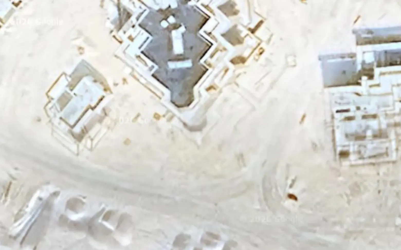
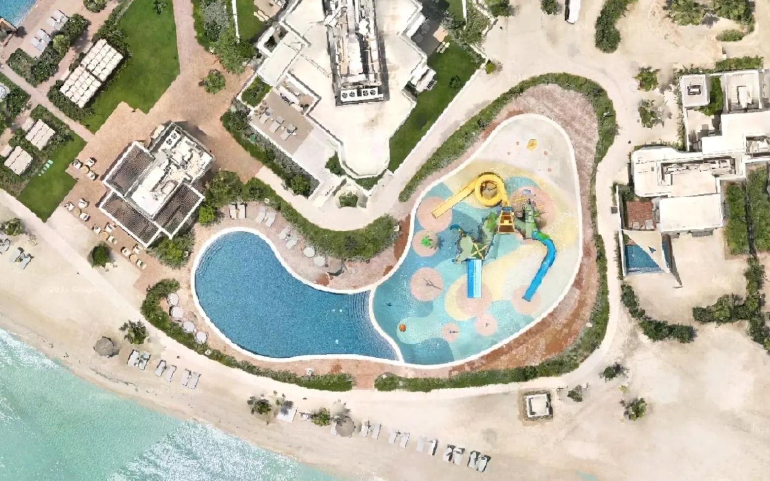
Suddenly the shrubbery isn’t a dark-green smear. You can pick out the curves of a landscaped pool, the paths, the little architectural details and the edges of a building. It’s like finally putting your glasses on. For a five-star hotel, a golf course, a university or a historic estate, those details are part of the product.
Capture before the doors open
Here’s an opportunity that genuinely excites me. A new resort often looks complete from outside months before it opens. The roofs are on, the pool is filled, the landscaping is in, while teams are still fitting out rooms and restaurants. There’s no reason we can’t plan the aerial capture in that window and submit the imagery well ahead of launch.
If Google chooses to incorporate it in time, guests researching the opening may see the finished destination instead of a building site. Google’s own guidance is clear that it can’t guarantee processing times and that not every submission is published. The same logic applies to renovations: a new pool, a new roof, a new restaurant terrace. Refresh the images people use to understand the place, and coordinate it across every platform that represents you.
Early capture increases the opportunity. It cannot guarantee the result.
One capture, the whole digital destination
Google’s view is only one piece of the puzzle. If a resort renovates its pool, I don’t want to update Google’s aerial imagery and leave its HypaView and HypaMaps showing the old one. That would be ridiculous. One capture, where technically appropriate, should feed the whole update.
- Google Maps Up-to-date overhead imagery Prepared for submission through our partner route. Google has the final say on whether and when it appears.
- HypaView A place you can step into A highly realistic, freely explorable version of the destination, updated on our timetable.
- HypaMaps A map people can actually use Venue information, points of interest and navigation, built on the same scene.
They do different jobs. Google Maps is the global point of reference, where people discover a place and see where it sits in the world. HypaView lets them explore what it really looks like. HypaMaps helps them use it. We control updates to our own products and the quality and timing of what we submit. We don’t control Google’s publishing decisions.
For our clients, the proposition is no longer ‘buy a better satellite image’. It’s ‘keep the digital version of your destination aligned with the real one’. That means accuracy, credibility and less confusion when different maps show different versions of a site.
Consistency is the product.
A destination changes even when it isn’t being rebuilt
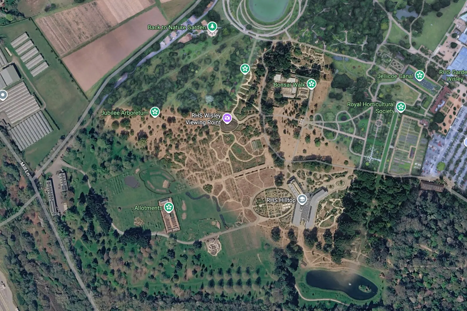
We already rescan RHS gardens seasonally, producing summer and winter versions of the maps. Visit a botanical garden twice in a year and you’ll know why: the place can be almost unrecognisable. A glorious June garden shouldn’t be represented by a stark February image.
Those seasonal refreshes haven’t yet included Google Maps submissions. That’s next, and I’d love to see Google’s update speed improve as we build a substantial contribution history. But let’s call that what it is: an ambition. Google hasn’t promised us a fast-track lane.
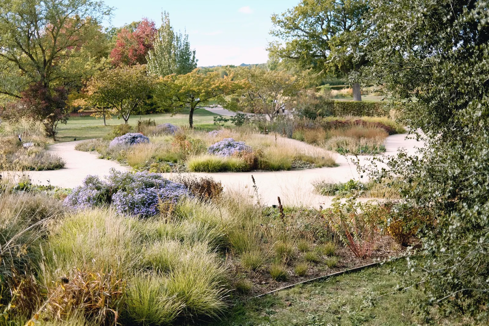
I can see seasonal updates appealing to gardens, golf courses, outdoor attractions and big event sites. A festival site is almost unrecognisable once stages, marquees and pathways go in; capture the finished layout promptly and arrivals get a far more useful picture. A well-planned mission can capture some sites in an hour or two, and our own products can sometimes update the same day. Google’s review and publication timetable is a separate process, and not ours to promise.
The network that makes scale possible
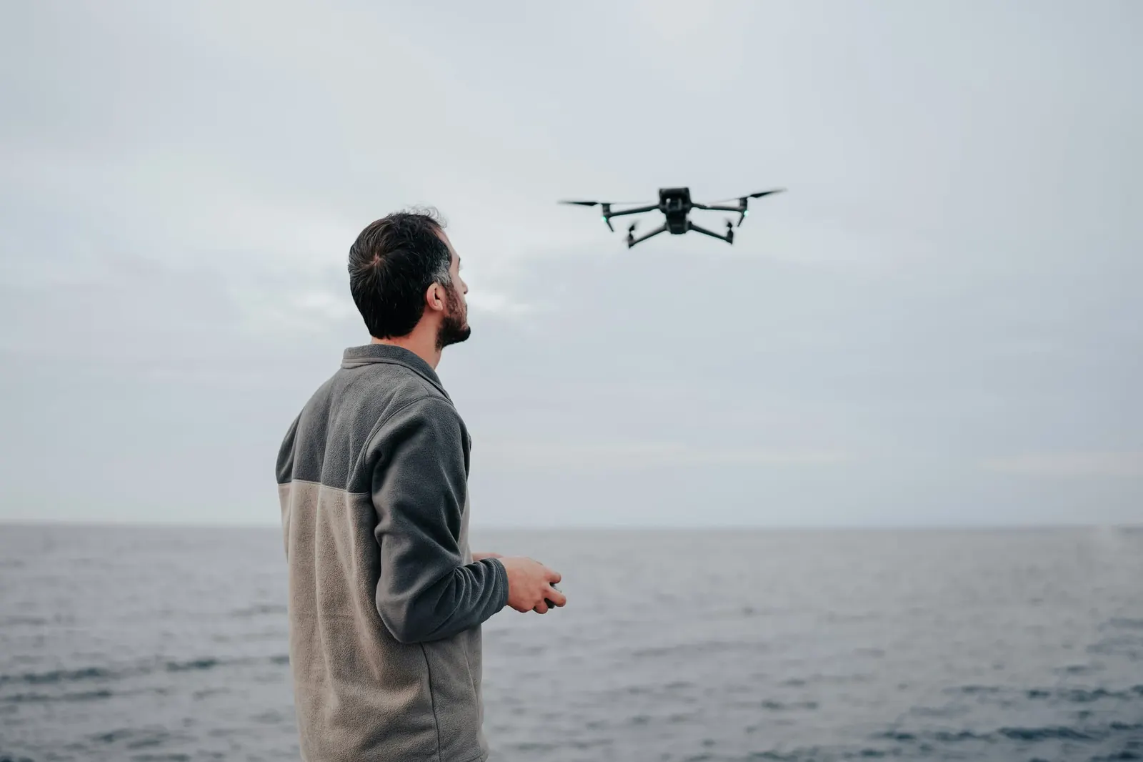
This is where it gets potentially enormous. We’re building a network of trained HypaSpace drone operators. Instead of sending somebody halfway across the country because a garden has redesigned a path, we want a trained operator nearby who can go and capture it. Multiply that across resorts, campuses, theme parks, heritage sites and venues around the world.
It isn’t a creative free-for-all. The method is deliberately repeatable: approved equipment, precise coverage, and automated checks that spot missing imagery while the operator is still on site. Human quality control adds another safeguard before anything is considered for Google. We’re in the early stages of scaling, and I don’t want ambition confused with achievement. But I want us to become a leading source of fresh, detailed imagery at venue level, where freshness matters most.
A better shop window, for everyone
The venue gets far more say over how it’s depicted. The mapping platform gets access to fresher source imagery, if it chooses to use it. The operator gets worthwhile local work. And HypaSpace builds a business around keeping digital destinations accurate. Win-win-win. A slightly corny phrase, but here I think it’s justified.
When I think back to that strangely crisp resort on an otherwise blurry coastline, I see the moment I realised something simple. The satellite view of a destination shouldn’t have to be an accidental snapshot of the past. It can be a digital asset the destination actively maintains.
I want a hotel to say, ‘We’ve just finished our new pool; let’s update the imagery.’ A university to say, ‘Our new building is ready; let’s show it.’ A garden to show visitors the season they’re actually coming to see.
You’ve spent years making your place extraordinary. Make sure the world can actually see it.