
PARTNERS · GOOGLE MAPS
Show the world your location as it is today.
Fresh imagery of your location, with every building, entrance and facility checked for correct placement across Google Maps, Search and Earth. So the first look is the right one.
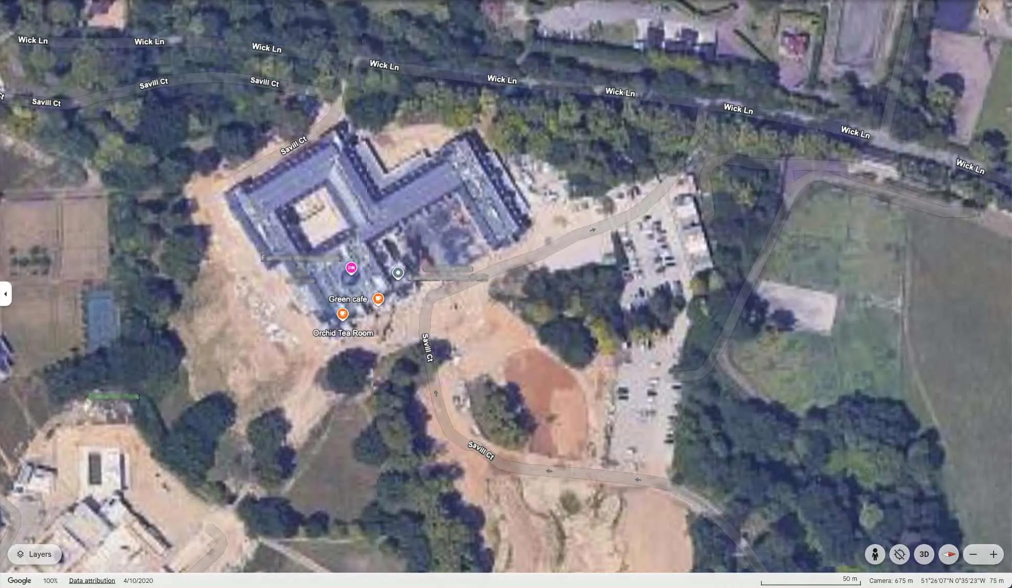
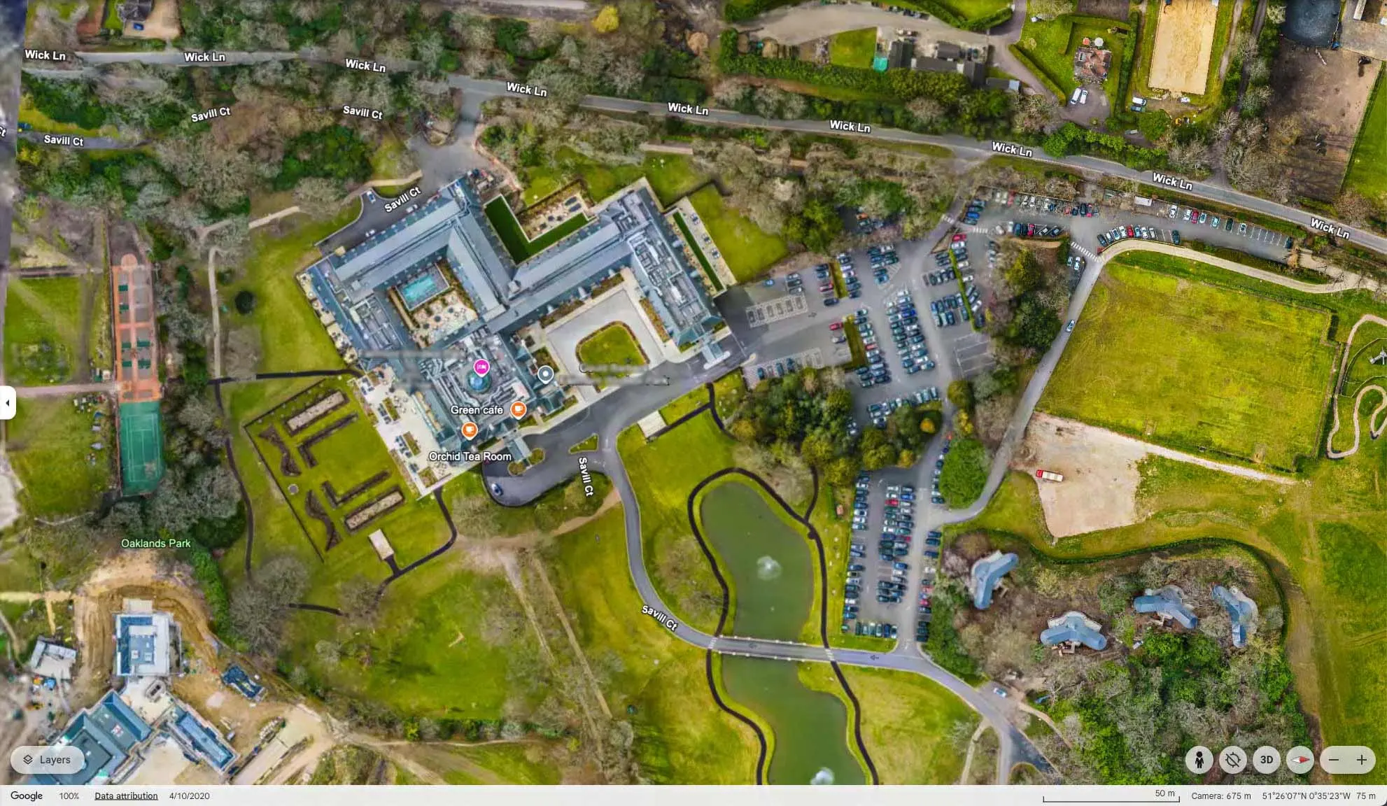
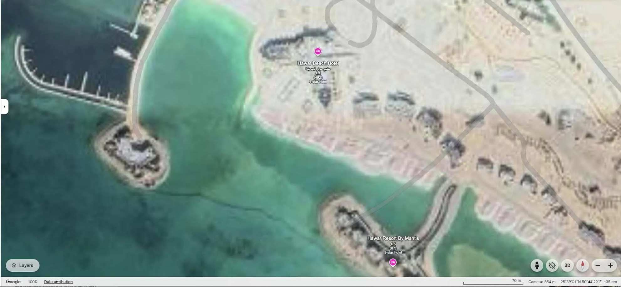
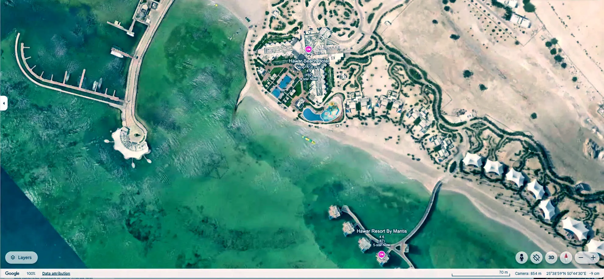
Drag to compare. Same place, same view.

THE FIRST LOOK
Don’t leave a bad first impression.
Before anyone books, they find you on Google Maps. They zoom in, switch to satellite and look around. What they see is imagery you didn’t choose, and it could be years old.
If you’ve built, expanded or refurbished since, that gap is the most visible weakness in your brand. It’s also the hardest to fix on your own.
- 2 billion people use Google Maps every month. For many visitors, it’s their first look at your place. Google, 2024
- 2–7 years is the typical wait before satellite imagery catches up with change on the ground, without a verified partner. Google Maps imagery refresh cycle, observed
WHAT PARTNERSHIP UNLOCKS
Three things only a verified partner can do.
- 01
Refreshed in months, not years.
Satellite imagery can lag 2 to 7 years behind. We send fresh imagery on a regular cycle, so Google keeps pace with your place.
-
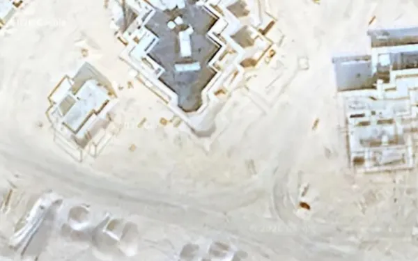
SATELLITE 30–50 cm per pixel, 500 km up 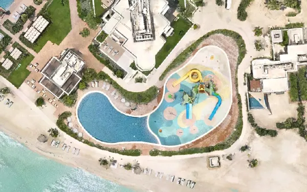
HYPASPACE 5–8 cm per pixel, 120 m up 02Detail satellites can’t reach.
Satellites find buildings. Our drones fly low enough to show façades, paths, planting and architecture in rich detail.
- 03
One update. Every Google screen.
One verified update appears across Google Maps, Search and Earth, and the travel sites built on them.
HERE TODAY, GONE TOMORROW
The building site is long gone. Google’s view isn’t.
Outdated satellite views linger for years: cranes, bare ground, blurry rooftops. We replace them with high-resolution imagery that sits seamlessly within Google Maps and Earth.
HOW IT WORKS
Capture once. Show it everywhere.
The flight that builds your digital twin also refreshes how you look on Google. One capture, two jobs, no extra time on site.
- STEP 01
Capture
Our drones fly low over your place. The same flight builds your digital twin.
- STEP 02
Submit
We send the imagery through our verified partner channel, ready for Google’s review.
-
 STEP 03
Publish
Your refreshed view goes live across Google Maps, Search and Earth, typically in months, not years.




WHY IT MATTERS
Brand control in the world’s default view.
Marketing teams have spent years perfecting paid search, organic and social. Yet the biggest piece of digital real estate they have, how their place looks on Google Maps, is the one they control least. Content Partner status puts it back in your hands.
- New buildings, pools and paths on Google the season they open
- Entrances, cafés and facilities labelled where they really are
- One capture keeping Google and your twin in step
BOOK A DEMO
See how Google shows you today.
A 20-minute call. We’ll bring up your place on Google Maps, walk through the gaps with you, and show you what changes once we’re your Content Partner.